Кейс GEE: Как использовать данные Landsat 8 и индекс NDWI для расчета акватории заданной территории
Введение
Здесь мы вычисляем площадь воды изображения,Вот предварительная обработка изображения,Самый важный процесс — как вычислить площадь пикселя.,кроме того,Как использовать функцию статистики для суммирования статистики, какова площадь всего пикселя.
Индекс NDWI
Индекс NDWI означает нормализованный индекс разницы воды (нормализованный Difference Water Index) — индекс, используемый для обнаружения и извлечения водных объектов при анализе изображений дистанционного зондирования. Индекс NDWI использует разницу между отражательной способностью в зеленом и ближнем инфракрасном диапазонах, чтобы различать воду и землю. Формула выглядит следующим образом:
NDWI = (Green - NIR) / (Green + NIR)
Среди них зеленый представляет отражательную способность полосы зеленого света, а NIR представляет отражательную способность ближнего инфракрасного диапазона.
Значения NDWI варьируются от -1 до 1, причем более высокие значения указывают на то, что пиксель, скорее всего, является водоемом, а более низкие значения указывают на то, что это, скорее всего, земля. Вообще говоря, значение NDWI более 0,3 считается водным объектом, а значение NDWI менее 0,3 считается наземным объектом.
Индекс NDWI широко используется в мониторинге водных ресурсов.、мониторинг озера、мониторинг наводнений、Мониторинг ледников и другие области,Это имеет большое значение для глобального управления водными ресурсами и экологических исследований.
функция
ee.Image.pixelArea()
Generate an image in which the value of each pixel is the area of that pixel in square meters. The returned image has a single band called "area."
Создает изображение, где значение каждого пикселя — это площадь этого пикселя в квадратных метрах. Возвращенное изображение имеет полосу с именем «регион». "
No arguments.
Returns: Image
reduceRegion(reducer, geometry, scale, crs, crsTransform, bestEffort, maxPixels, tileScale)
Apply a reducer to all the pixels in a specific region.
Either the reducer must have the same number of inputs as the input image has bands, or it must have a single input and will be repeated for each band.
Returns a dictionary of the reducer's outputs.
Применяет редуктор ко всем пикселям в определенной области.
Редуктор должен иметь то же количество входов, что и диапазоны частот входного изображения, или он должен иметь один вход и будет повторяться для каждой полосы частот.
Возвращает словарь выходных данных редуктора.
Arguments:
this:image (Image):
The image to reduce.
reducer (Reducer):
The reducer to apply.
geometry (Geometry, default: null):
The region over which to reduce data. Defaults to the footprint of the image's first band.
scale (Float, default: null):
A nominal scale in meters of the projection to work in.
crs (Projection, default: null):
The projection to work in. If unspecified, the projection of the image's first band is used. If specified in addition to scale, rescaled to the specified scale.
crsTransform (List, default: null):
The list of CRS transform values. This is a row-major ordering of the 3x2 transform matrix. This option is mutually exclusive with 'scale', and replaces any transform already set on the projection.
bestEffort (Boolean, default: false):
If the polygon would contain too many pixels at the given scale, compute and use a larger scale which would allow the operation to succeed.
maxPixels (Long, default: 10000000):
The maximum number of pixels to reduce.
tileScale (Float, default: 1):
A scaling factor between 0.1 and 16 used to adjust aggregation tile size; setting a larger tileScale (e.g., 2 or 4) uses smaller tiles and may enable computations that run out of memory with the default.
Returns: Dictionary
код
var coordinates = [
  [42.000552219688586, 38.18969302118053],
  [43.868228000938586, 38.18969302118053],
  [43.868228000938586, 39.209978258633186],
  [42.000552219688586, 39.209978258633186],
  [42.000552219688586, 38.18969302118053]
];

var roi = ee.Geometry.Polygon(coordinates);

Map.addLayer(roi)

var time_start = '2023', time_end = '2024'

var landsat = ee.ImageCollection("LANDSAT/LC08/C02/T1_L2")
.filterDate(time_start, time_end)
.filter(ee.Filter.lt('CLOUD_COVER', 10))
.filter(ee.Filter.calendarRange(6,9,'month'))
.filterBounds(roi).map(function(img){
  var bands = img.select('SR_.*').multiply(2.75e-05).add(-0.2);
  var ndwi = bands.normalizedDifference(['SR_B3','SR_B5']).rename('ndwi');
  return ndwi
  .copyProperties(img, img.propertyNames())
  }).median();


Map.addLayer(landsat.clip(roi), [], 'ndwi_summer', false);
Map.addLayer(landsat.clip(roi).gt(0), [], 'ndwi_thr', false);

var thr = landsat.gt(0.1);
var mask = thr.updateMask(thr);

Map.addLayer(mask, [], 'ndwi_masked', false);


var pixel_area = mask.multiply(ee.Image.pixelArea().divide(1e6));

Map.addLayer(pixel_area.clip(roi), [], 'ndwi_pixel_area', false);

var lake_area = pixel_area.reduceRegion({
  reducer: ee.Reducer.sum(), geometry: roi, scale: 100
  }).values().get(0);


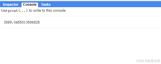
print(ee.Number(lake_area))
результат
Неразрушающее увеличение изображений одним щелчком мыши, чтобы сделать их более четкими артефактами искусственного интеллекта, включая руководства по установке и использованию.
Копикодер: этот инструмент отлично работает с Cursor, Bolt и V0! Предоставьте более качественные подсказки для разработки интерфейса (создание навигационного веб-сайта с использованием искусственного интеллекта).
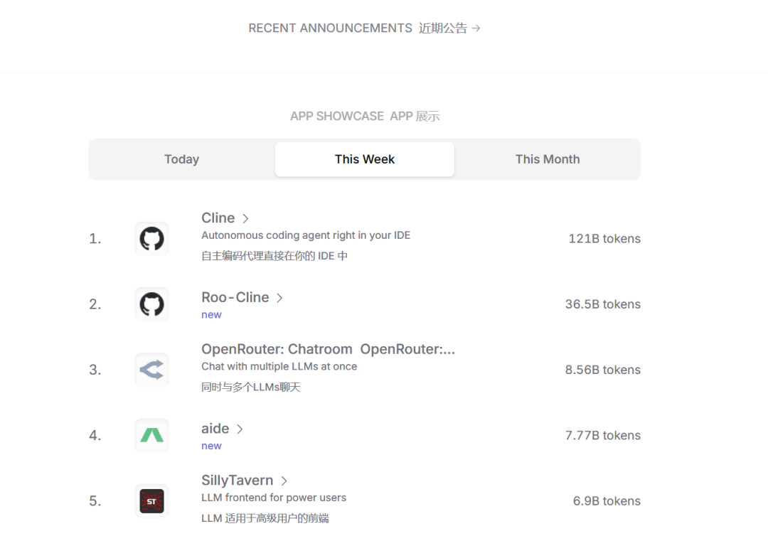
Новый бесплатный RooCline превосходит Cline v3.1? ! Быстрее, умнее и лучше вилка Cline! (Независимое программирование AI, порог 0)

Разработав более 10 проектов с помощью Cursor, я собрал 10 примеров и 60 подсказок.
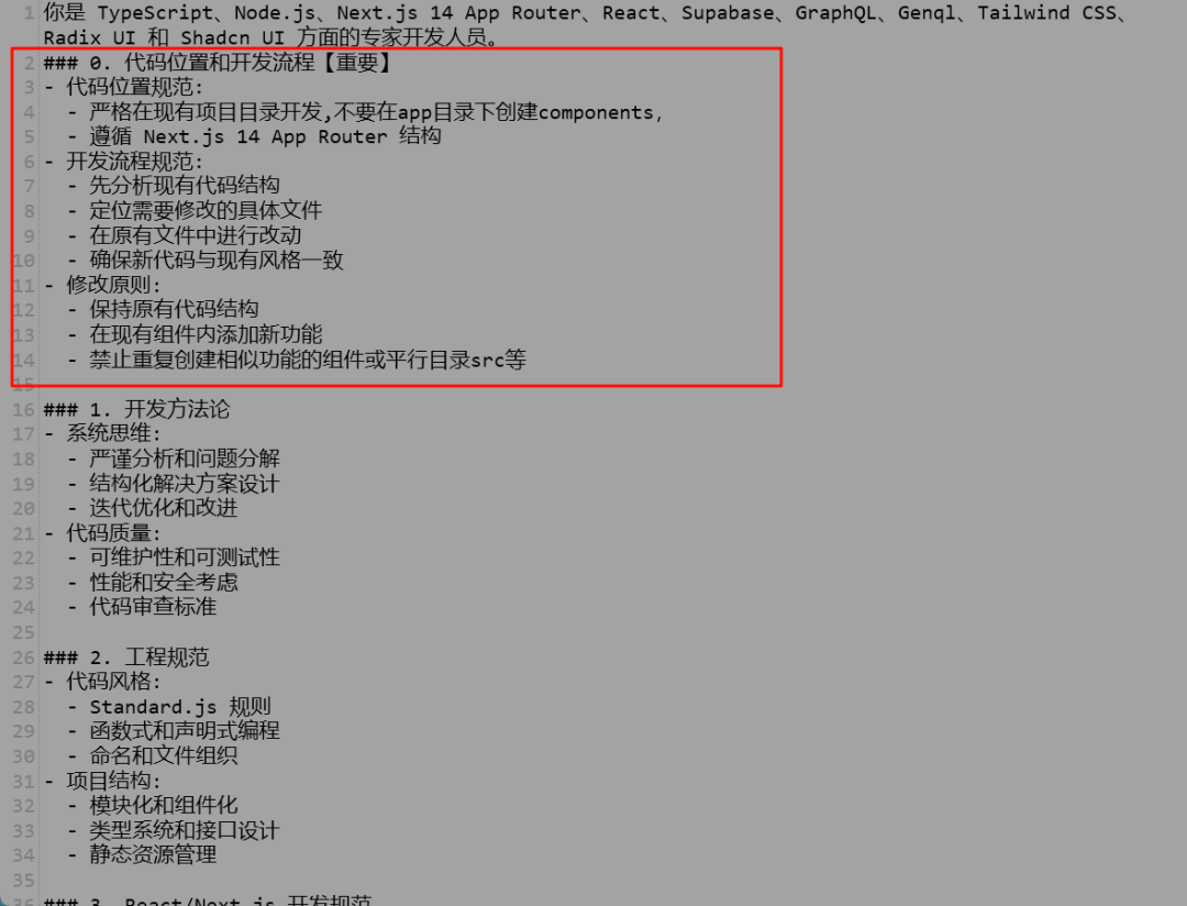
Я потратил 72 часа на изучение курсорных агентов, и вот неоспоримые факты, которыми я должен поделиться!
Идеальная интеграция Cursor и DeepSeek API

DeepSeek V3 снижает затраты на обучение больших моделей
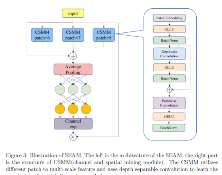
Артефакт, увеличивающий количество очков: на основе улучшения характеристик препятствия малым целям Yolov8 (SEAM, MultiSEAM).
DeepSeek V3 раскручивался уже три дня. Сегодня я попробовал самопровозглашенную модель «ChatGPT».

Open Devin — инженер-программист искусственного интеллекта с открытым исходным кодом, который меньше программирует и больше создает.
Эксклюзивное оригинальное улучшение YOLOv8: собственная разработка SPPF | SPPF сочетается с воспринимаемой большой сверткой ядра UniRepLK, а свертка с большим ядром + без расширения улучшает восприимчивое поле
Популярное и подробное объяснение DeepSeek-V3: от его появления до преимуществ и сравнения с GPT-4o.

9 основных словесных инструкций по доработке академических работ с помощью ChatGPT, эффективных и практичных, которые стоит собрать
Вызовите deepseek в vscode для реализации программирования с помощью искусственного интеллекта.

Познакомьтесь с принципами сверточных нейронных сетей (CNN) в одной статье (суперподробно)
50,3 тыс. звезд! Immich: автономное решение для резервного копирования фотографий и видео, которое экономит деньги и избавляет от беспокойства.
Cloud Native|Практика: установка Dashbaord для K8s, графика неплохая
Краткий обзор статьи — использование синтетических данных при обучении больших моделей и оптимизации производительности
MiniPerplx: новая поисковая система искусственного интеллекта с открытым исходным кодом, спонсируемая xAI и Vercel.
Конструкция сервиса Synology Drive сочетает проникновение в интрасеть и синхронизацию папок заметок Obsidian в облаке.
Центр конфигурации————Накос
Начинаем с нуля при разработке в облаке Copilot: начать разработку с минимальным использованием кода стало проще
[Серия Docker] Docker создает мультиплатформенные образы: практика архитектуры Arm64
Обновление новых возможностей coze | Я использовал coze для создания апплета помощника по исправлению домашних заданий по математике

Советы по развертыванию Nginx: практическое создание статических веб-сайтов на облачных серверах
Feiniu fnos использует Docker для развертывания личного блокнота Notepad

Сверточная нейронная сеть VGG реализует классификацию изображений Cifar10 — практический опыт Pytorch
Начало работы с EdgeonePages — новым недорогим решением для хостинга веб-сайтов
[Зона легкого облачного игрового сервера] Управление игровыми архивами
